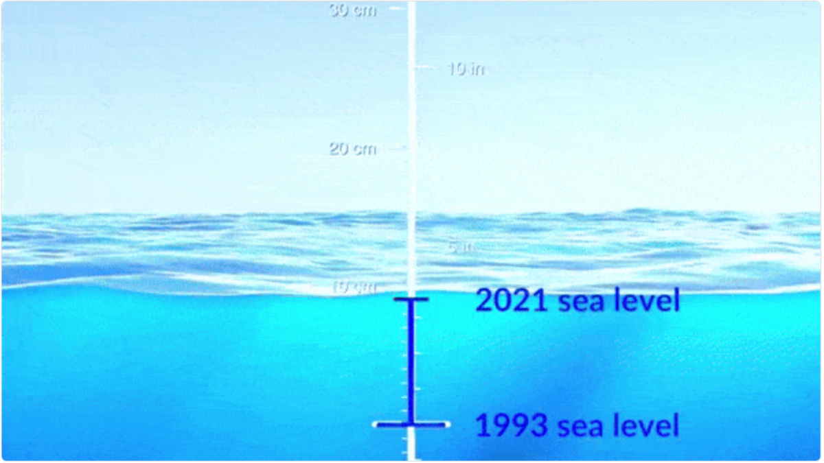
As heatwaves, worsened by the El Niño phenomenon, affect multiple regions globally, including India, the oceans are experiencing the impact. An analysis of the dataset shows that ocean surface heights are rising at increasingly rapid rates, according to NASA.
Experts attribute the relatively larger jump of 0.76 centimeters in the global average sea level between 2022 and 2023 to a warming climate and the development of a strong El Niño.
Sea levels around the world are rising as a result of human-caused global warming. Overall, global sea levels have risen about 10 centimeters from 1993 to 2023. #WorldOceansDay https://t.co/qqRNzm91IA pic.twitter.com/sboKnGc4yf
— NASA Climate (@NASAClimate) June 8, 2024
---Advertisement---
NASA analysis, based on over 30 years of satellite observations starting in 1992, reveals a significant increase in global sea levels.
The most recent data from the Sentinel-6 Michael Freilich mission, launched in November 2020, indicates a rise of approximately 49.4 centimeters since 1993. This increase has accelerated from 0.18 centimeters per year in 1993 to 0.42 centimeters per year currently.
Nadya Vinogradova Shiffer, director of NASA’s sea level change team, predicts an additional 20 centimeters rise by 2050. This doubling of the change observed in the past century is anticipated to increase global flood impacts.
Also Read: WHO Confirms Second Human Case Of Bird Flu In India Since 2019
La Niña, with cooler Pacific waters, reduces sea levels by diverting rain from the ocean to land. Conversely, El Niño, with warmer Pacific waters, raises sea levels by channeling more rain back into the ocean. These fluctuations are temporary but overlay a long-term trend of rising sea levels attributable to global warming.
Researchers utilize radar altimeters to measure sea level, bouncing microwave signals off the ocean surface and refining their data with tide gauges and satellite measurements.
International cooperation and technological advances enhance this detailed record, aiding scientists in understanding global sea level changes. They combine data on ocean temperature, ice loss, and land movement for comprehensive insights.
Also Read: In Response To China’s Arunachal Move, India To Rename 30 Places In Tibet


