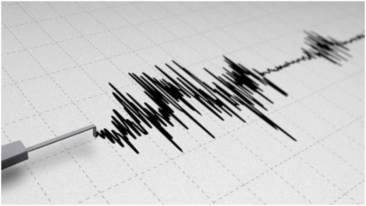
A very strong earthquake of 7.3 on the Richter Scale hit part of northern Chile on Thursday, according to the United States Geological Survey. The tremors were 41 km southeast of San Pedro de Atacama, Chile. The epicenter of this quake was 164 miles east of the coastal city of Antofagasta and about 78.5 miles deep. The quake took place at 9:51 pm local time.
Back in January, another earthquake of magnitude 5.3 hit the northern Chilean region of Tarapaca at a depth of 118 km. No reports had come in of casualties at the time.
Chile has frequent earthquakes because it lies on the Pacific Ocean’s ‘Ring of Fire,’ which is an area of frequent seismic activity where many volcanic eruptions and earthquakes occur.
In 1960, the southern city of Valdivia was hit by a record 9.5 magnitude earthquake, the largest ever recorded in the world.
Also Read: Elon Musk Claims Indian-Origin Americans Earn Most In US, See Where Stands Pakistan
2010 Chile Earthquake Details
Back in 2010, an 8.8-magnitude quake with a consecutive tsunami claimed 526 lives. The quake took a heavy toll on land areas and caused a tsunami that swept through coastal areas of the country. The epicenter lay about 200 miles southwest of Santiago, the capital of Chile, at a depth of some 22 miles under the level of the Pacific Ocean.
Active Seismic Zone of Chile
It might just as well be called the “Ring of Earthquakes,” so Chile is regarded as one of the most earthquake-prone countries in the world. This area, with frequent volcanic eruptions and earthquakes, makes Chile one of the most active seismic zones on Earth. The country faces frequent, at times disastrous, seismic events due to its location at the leading edge of this unstable frontier with tectonic plates in perpetual motion.
Also Read: Controversy in China: Companies Face Probe For Requiring Pregnancy Tests From Job Applicants


