IMD Weather Update: The Western Himalayan Region and Northwest India have continuously battled active western disturbances for the past few days. However, these conditions are likely to persist over the next week. The India Meteorological Department (IMD) forecasts a trough over the north Bay of Bengal, likely to bring scattered light to moderate rain accompanied by thunderstorms, lightning, and gusty winds (30-40 kmph) over Gangetic West Bengal on the 20th, 22nd, and 23rd of February 2025. Other states to experience similar conditions are Bihar, Jharkhand and Odisha.
Daily Weather Briefing English (19.02.2025)
---Advertisement---YouTube : https://t.co/X1RAxRLzGg
Facebook : https://t.co/WCBCWppVen#imd #india #rain #weatherupdate #weatherforecast #weathernews #rainfallupdate #fog #mausam #thunderstorm@moesgoi @ndmaindia @DDNational @airnewsalerts pic.twitter.com/aYq6xkqDYy— India Meteorological Department (@Indiametdept) February 19, 2025
---Advertisement---
Active Western Disturbances To Bring Rain In These States
According to IMD, two active western disturbances are likely to bring scattered light to moderate rain and snow today over Jammu-Kashmir, Ladakh, Gilgit, Baltistan, Muzaffarabad, Himachal Pradesh and isolated light rain and snow thereafter till 23rd Feb. Additionally, Uttarakhand will likely witness hailstorm activity on 20th Feb. Punjab, Haryana, Chandigarh, Uttar Pradesh, and Chhattisgarh are set to experience isolated light to moderate showers until today.
Fresh Western Disturbance To Impact J&K, Uttarakhand
Meanwhile, the Met Body forecasts another fresh western disturbance likely to impact Northwest India starting from February 24, 2025. Under its influence, Jammu-Kashmir, Ladakh, Gilgit, Baltistan, HImachal Pradesh, Uttarakhand, and Muzaffarabad will receive isolated to Scattered light to moderate rain/snow on 24th & 25th. Coastal Andhra Pradesh and Yanam will see similar conditions on the 22nd & 23rd of February.
Cyclonic Circulation Over Northeast Assam
Here’s a breakdown of the conditions likely to be caused by an upcoming cyclonic circulation brewing over northeast Assam:
– Scattered to Fairly widespread light/moderate rainfall/snowfall activity: Arunachal Pradesh (20th-25th February)
– Isolated to scattered light rainfall activity: Assam, Meghalaya, Nagaland, Manipur, Mizoram, Tripura
and Sub-Himalayan West Bengal, Sikkim (next 7 days).
– Thunderstorm & lightning: Arunachal Pradesh (20th & 23rd Feb), Assam & Meghalaya (20th to 23rd Feb)
Dense Fog
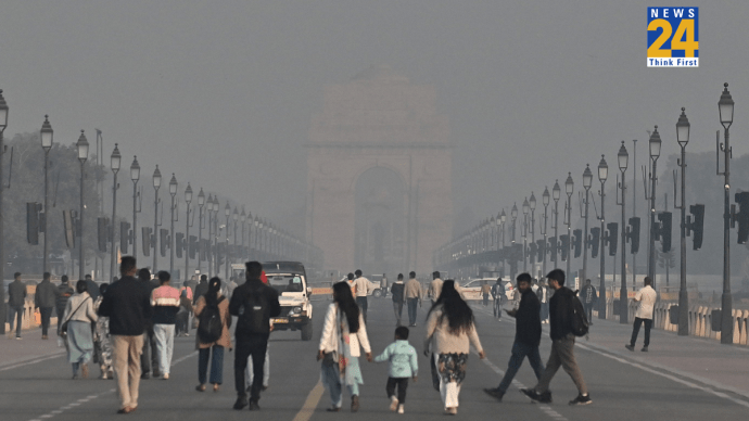
According to IMD’s latest update and data, a few states reported dense to very dense fog conditions during the past 24 hours. Visibility between 50-199 m was reported in isolated pockets of Gangetic West Bengal, Sub-Himalayan West Bengal, Sikkim, and Meghalaya.
Also Read: IMD Weather Update: Cyclonic Circulation To Impact THESE States, Rain Expected Till 23rd February


