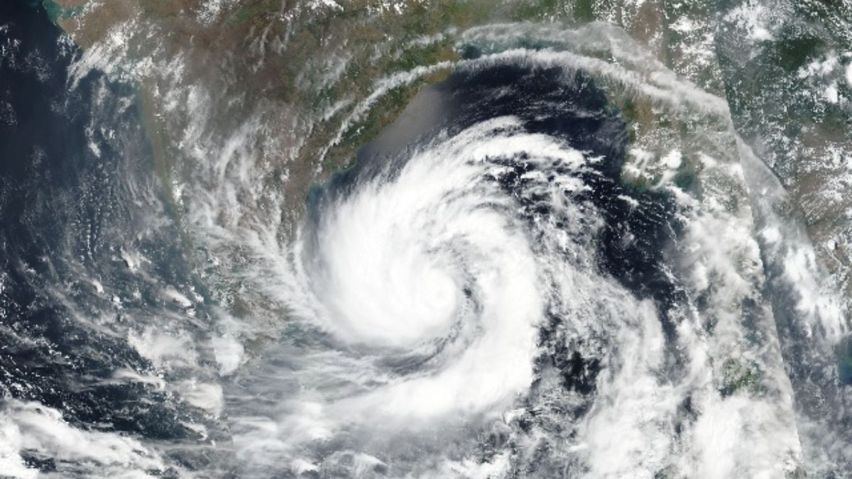
The India Meteorological Department sounded an alarm today as a disturbance in the Southwest Bay of Bengal gained momentum, edging west-northwestwards at 9 kmph over the last six hours. By 11 PM on December 1, the center of the depression was pinpointed at Latitude 10.3°N and Longitude 85.3°E, roughly 630 km east-southeast of Puducherry.
The storm, labeled Michaung, positioned itself at 630 km east-southeast of Chennai, 740 km southeast of Nellore, 810 km southeast of Bapatla, and 800 km south-southeast of Machilipatnam, according to the latest IMD update. Projections indicate an intensification into a Cyclonic Storm by December 3, on a trajectory that takes it towards the south Andhra Pradesh and north Tamil Nadu coasts by December 4.
Anticipated to make landfall between Nellore and Machilipatnam by December 5, Michaung is expected to carry sustained winds of 80-90 kmph, gusting up to 100 kmph.
Tamil Nadu CM MK Stalin held discussions with district administration heads to strategize against the forecasted heavy rainfall. Precautionary measures, including evacuations, were stressed upon.
The National Crisis Management Committee (NCMC) under Cabinet Secretary Rajiv Gauba has reviewed preparedness measures for ‘Michaung.’
The impending cyclonic storm prompted meteorological authorities to issue extensive rainfall warnings:
– North coastal Tamil Nadu and Puducherry expect light to moderate rainfall on December 2, escalating to heavy and extremely heavy downpours by December 3. December 4 and 5 will also witness varying degrees of rainfall.
– Coastal Andhra Pradesh braces for increasing rainfall from December 3 onwards, with heavy to extremely heavy downpours at isolated places till December 5.
– Odisha anticipates moderate rainfall on December 4, with heavy spells in specific regions, followed by isolated heavy to very heavy rainfall on December 5 in certain areas.”
Also Read: Ranbir Kapoor’s ‘Animal’ Roars Louder Than Vicky Kaushal’s ‘Sam Bahadur’; Check Deets


